Part I – March 9, am to March 11 am, 2014
After several months of waiting for our new mast and making preparations, we left Mariner Cay Marina Sunday morning (March 9, 2014) at 9 am, having bid farewell to all our friends the day before. We had hoped to sail to Palm Beach inlet in the ocean, but because of strong north winds against the Gulf Stream we decided to go south through the ICW (the Intracoastal waterway). This is a trip of some 45 nautical miles.

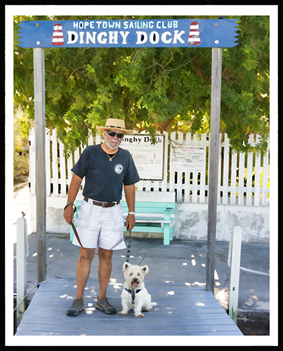
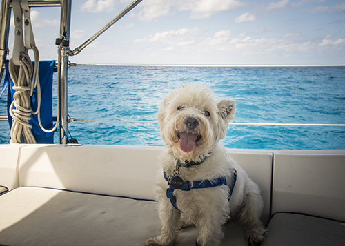
Charles takes his last walk for the season
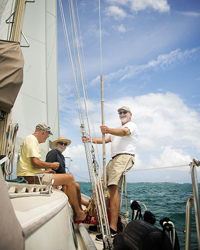
On board Windsong II were Bob, Sherry and Charles. Bob’s brother Leo, who has many years of boating experience, would be additional crew as far as Marsh Harbour in the Bahamas. He’d fly back from there in order to prepare for his upcoming trip to China.
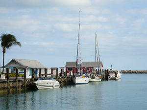
We travelled with our buddy boat Casey Dee, which is captained by our friend Mike, an experienced sailor who hails from Iowa and has crossed to the Bahamas at least 10 times before. It’s always a good idea to go across the Gulf Stream with one or more buddy boats.
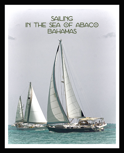
Both of us were destined for Marsh Harbour on Great Abaco Island in the Bahamas. The entire voyage would be about 250 nautical miles. Motoring at an average speed, it would take us four days. To put it in perspective, if you left from Florida on a plane, you could be in Marsh Harbour in an hour and a half. We live life in the slow lane!
All went well down the ICW or “the ditch” until we got to our first lift bridge in Hobe Sound, which was a bridge that opened “on demand.” We called the bridge tender on our VHF radio requesting an opening so we could pass through. After about a 15 minute wait the bridge tender explained that there was a mechanical failure and he had called maintenance to come and fix it. We had approached the bridge with our buddy boat Casey Dee, as well as a Hunter 32 and a large motor cruiser.
We began to circle around. Mike, with more experience, immediately and intentionally ran his boat aground in the soft mud and went down below to make a bite to eat. We began motoring back and forth with the other two boats for the next hour.
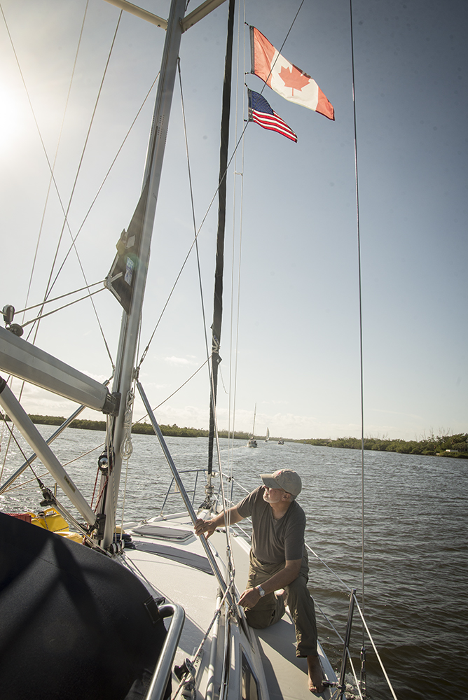
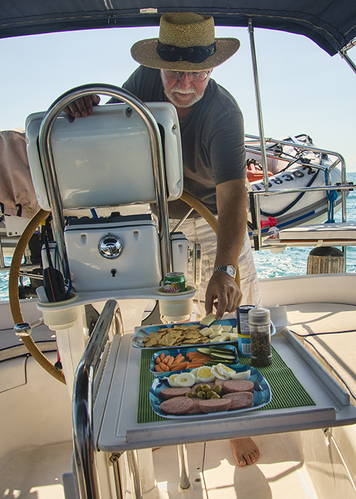
Bob runs the flags up the halyard as we start down the ICW…
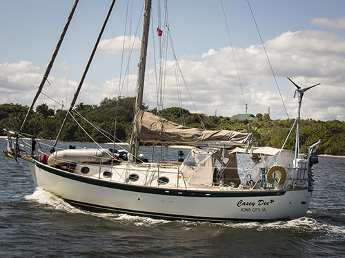
Mike waves to us from the Casey Dee…

The ICW is pretty narrow in places…you get pretty close to the houses…

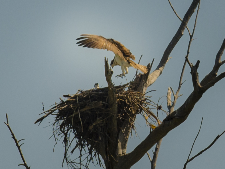
Sighting an eagle landing…
Suddenly the bridge tender radioed: “Bring em up, we’re opening the bridge!” Bob pulled a sharp turn and we watched the depth sounder go from 8.5 to 4.5 feet and we stopped dead as the other boats rushed to queue up for the opening. Our keel is 5 feet. We were aground. Not the best timing!
I moved to the starboard side of the boat and called to Leo to join me. This tilted the boat over a little and Bob opened the throttle for the engine. Slowly we plowed the keel through the soft mud in time to follow the parade of boats through the bridge.Fortunately, the next six or so bridges we had to go through all opened without incident.
We planned to anchor near the Palm Beach inlet so we could be close to U.S. customs in order to process the paperwork we needed prior to leaving U.S. waters. We would depart the U.S. through the inlet the next day.
As we passed Peanut Island, we were accosted by sight of several thousand spring breakers in bathing suits with their small power boats stacked ten deep in the shallow waters next to the island, a popular recreation spot. Many were standing on the sand bars beside their boats drinking from paper cups, shrieking and listening to loud music. It turns out that you cannot be charged for under age drinking if you are not on dry land or in a boat. This was a legal loophole that the “youngsters” were taking full advantage of!
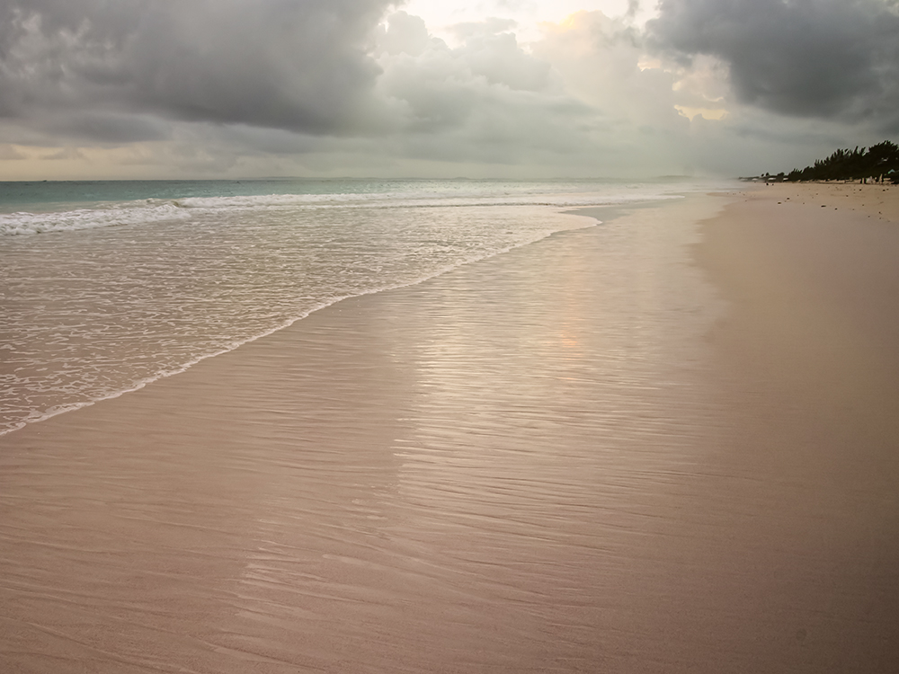
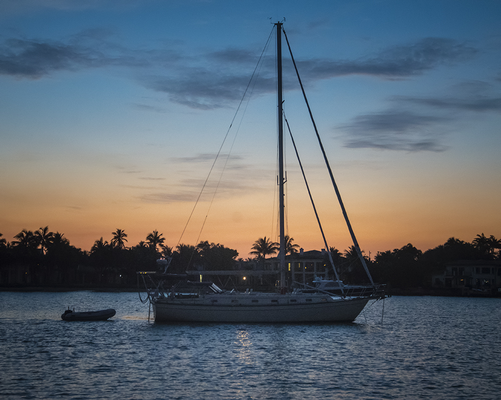
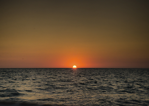
We anchored right next to the northern tip of the island of the “rich and famous” called Palm Beach. That night and the next morning we watched as huge cruise ships entered the inlet from the Bahamas and went right past us. On Monday we took care of our customs business and gave Charles a good long walk on Peanut Island.

Anchored out near Palm Beach

Cruise ships come in and out the Palm Beach Inlet
The time to cross the Gulf Stream was fast approaching.
Our destination was West End in the Bahamas, almost due east, 55 nautical miles away. In between us and West End lay the Gulf Stream. The Gulf Stream is an ocean river, which flows from the Gulf of Mexico along the east coast of North America to Europe. Between Florida and the Bahamas, the water depth changes very quickly from 20 feet to thousands of feet deep. So the volume of water is forced through this canyon. Wind acting on this water flow can produce very dangerous conditions for smaller boats.
We usually cruise at 5.5 knots. The centre of the Gulf Stream moves at 4 knots in a northerly direction. Imagine trying to walk across a street that is a conveyer belt and which moves almost as fast as you can walk. In order to cross the street directly, you can’t do it in a straight line.
We talked to lots of experienced crossers and read up on all the advice offered on strategies for crossing the Gulf Stream. Our plan was to navigate the boat to a point about 15 degrees south of West End. By combining our speed going east with the Gulf Stream speed going north, after 11 or 12 hours, we should have West End in sight.
It’s important to arrive in the Bahamas in daylight because the navigation charts require that you’re able to see where you’re going (This is called visual piloting rules.) Sailboats going from Florida to the Bahamas usually have about a 12 hour journey. Most usually leave in the middle of the night.
We decided to leave Florida at 5:30 pm on Monday afternoon. Since this was our first trip we wanted to see for ourselves that the weather reports that we had been glued to for days were actually correct. As newbies, we wanted to be able to go out on the ocean in daylight, check out the weather a couple of miles offshore and still have time to come back to the anchorage by dusk if the seas were too choppy.
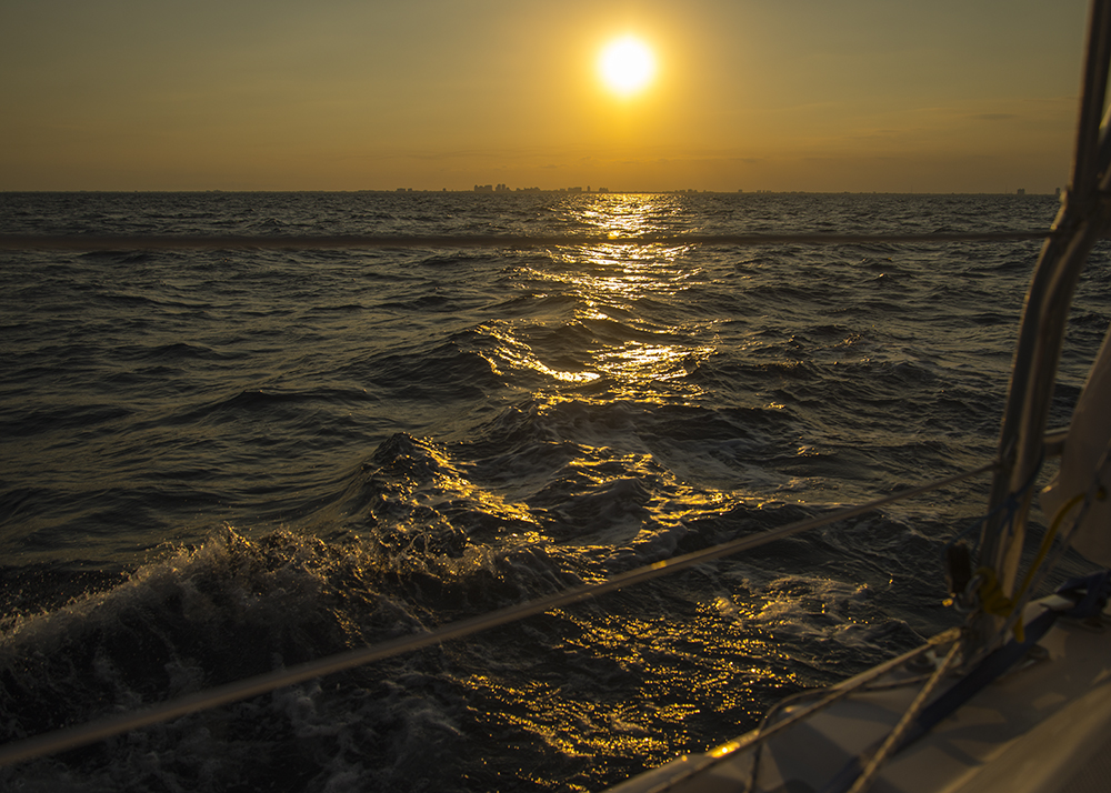
All reports said we had an ideal weather forecast for our crossing. It was quite beautiful leaving Florida. As we went out the inlet, Tiger Woods’ megayacht “Privacy” was just coming in. He didn’t recognize us. We watched the sun set over the coastline and the seas were smooth and calm as we left the mainland.
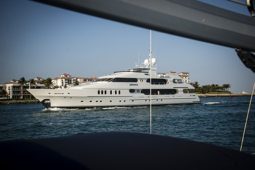
Passing Tiger Woods boat on the way out…

Leaving Florida…
Our colour digital radar allowed us to see the cruise ships and cargo vessels around us. On one occasion we altered our course to be sure we would pass behind one.
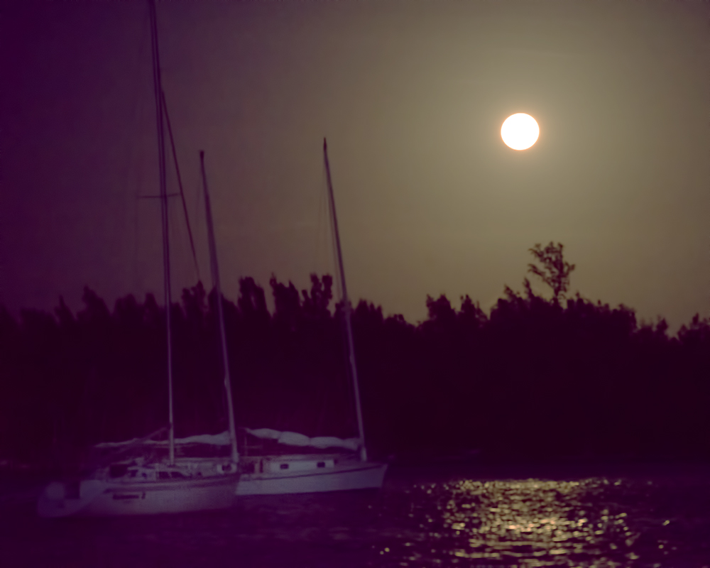
At night it can be very difficult to see exactly how far away things are and sometimes what direction they are moving. We could also see Mike in his boat because of his Big Blipper radar reflector. We did not cruise really close together but we did stay in radio contact, and could usually see him on our radar. It was a beautiful moonlit night, waves were about 2 to 3 feet with light winds just as forecast. We were amazed how much we could see on the water in the moonlight.
About midnight the sky started to cloud over a bit and the wind came up some causing some bigger waves, but nothing to get excited about. Mike radioed he had put his sails up and was having a ball. We decided to just keep motoring as we were making better time than expected and it seemed that might get in to West End ahead of schedule.
By 1:30 am we were in near gale force winds of 28 knots with gusts to 35. We kept in close radio contact with Mike, who was having some challenges getting his sails down. The winds were behind us causing some large breaking waves around us. The moon had disappeared and we could not see much of anything; we were just crashing along through the dark, watching the radar screen.
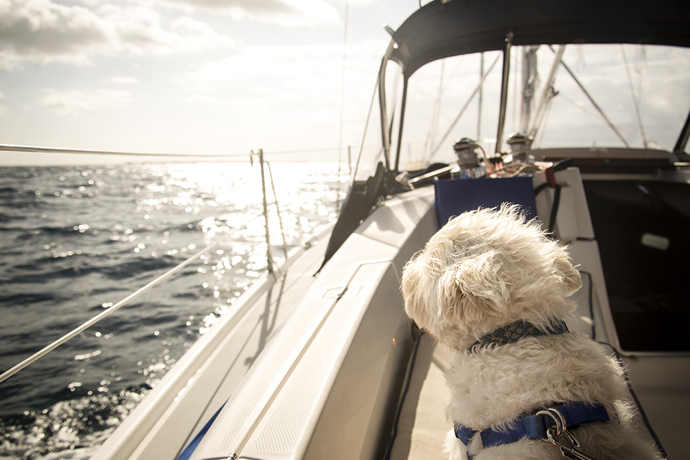
But Windsong II was taking good care of us and was handling it well. We never felt we were in trouble or the boat was being overwhelmed. We were all in the cockpit for the whole time, including Charles, who slept through the entire experience.
It was a bit disturbing not being able to see the waves coming, each one seemed on a slightly different angle to the stern of the boat, all moving much faster than we were, as they broke they growled and the boat heaved one way or the other, rolling as the waves passed under us.
By playing with the autopilot and Leo’s keen observations Bob was able to get a direction that minimized the discomfort, allowed the boat to settle down a bit and the autopilot was able to do a better job. We cannot imagine not doing this trip without an autopilot. It was not really the direction we wanted to go but it was close enough.
No one got seasick, thank goodness. I took a mild seasickness pill as a precaution and we drank some gingerale along the way, but we really had no problems at all.
We approached West End at about 4 am in the pitch black, quite a bit earlier than expected. We could see lights but could not see the shoreline at all. You know that old saw about it always being darkest before the dawn. Well, that was certainly our experience. My eyes started playing tricks on me and I imagined all sorts of weird and wonderful things out there in the ocean.
The radar allowed us to see things. In fact as we were crossing Bob could see West End from about 40 miles away on the radar.
For safety reasons we chose to motor around outside the entrance to West End until daylight. We had plenty of fuel. The winds continued at 25 to 35 knots with big breaking waves. We used the autopilot and tried to pick the best directions for our comfort without getting too far away from our final objective.
Finally at about 7:30 am there was enough light to see, so we turned to approach the entrance to the channel. We could now clearly see the opening in the breakwater. We had no problems getting in with the light of day. It would have been truly impossible at night.
We tied the boats to the government dock at the customs office, exhausted. We had gone 24 hours straight without sleep.
Bob ran a yellow flag up the flag halyard — this stands for the letter Q. We were under quarantine until cleared. We started cleaning up stuff and trying to tidy up a bit in case we were inspected by customs.
 The customs office opened at 9 am and we went in. There were eight long forms to complete including things like a ship’s inventory, a health form swearing we were not aware of any plague, cholera, etc. on board, that we had no infected rats on board and all crew and passengers were in good health. These forms were obviously developed many years ago and were still in use!
Bob and I filled in the forms together. At this point he could hardly think straight. After an hour or so we walked out with our cruising permit for the boat and all our passports stamped.
Understandably, Charles was anxious to get off the boat and relieve himself. We were pretty hungry so we headed to a beachside restaurant at the Old Bahamas Bay resort where we devoured large veggie omelettes and downed copious cups of coffee.
By about 11 am we had topped up our fuel tanks and were back on the boat. The next leg of the journey would take us to Great Sale Cay, where we would anchor in the lee of the island.
Stay tuned for more…
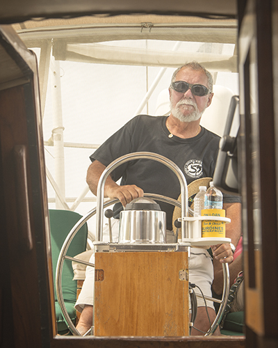
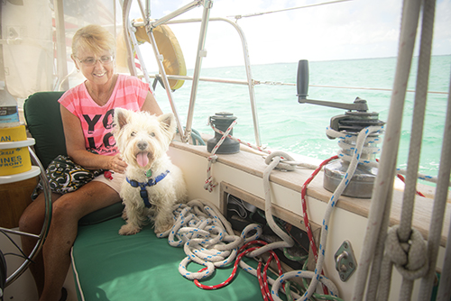


 Charles enjoys his outings…here Bob is with the Captain of our buddy boat the Casey Dee